
The Iran Geo International Exhibition is the country’s first and largest trade event dedicated exclusively to geomatics and spatial information.
Launched in January 2022 and followed by its second edition in February 2023, the exhibition has been officially licensed by the Iranian Trade Licensing Organization. It is organized by Avaye Movafagh Iranian (AMI Group), in close collaboration with the Armed Forces Geographical Organization.
As a landmark event with strong institutional support, Iran Geo serves as a key platform for showcasing innovations, fostering cooperation, and driving progress in the geomatics and geospatial sectors across Iran.

Participating in Iran Geo offers unique advantages rooted in the country’s geographical, academic, technological, and institutional landscape:
1. Geographic Diversity
Iran features a wide range of landscapes — from mountains and deserts to forests and coastal regions. This diversity presents both challenges and opportunities for geomatics and geoinformatics applications in areas such as environmental monitoring, disaster management, and sustainable development.
2. Academic Excellence
Iranian universities offer well-established programs in geomatics and geoinformatics, combining strong theoretical foundations with practical training. Graduates are well-equipped to apply geospatial technologies effectively across various industries.
3. Research & Innovation
Numerous research centers and institutions in Iran are actively engaged in geomatics-related R&D. They invest in cutting-edge projects and maintain collaborations with international partners to stay at the forefront of scientific and technological advancements.
4. Government Support
The Iranian government recognizes the strategic importance of geomatics for sectors such as urban planning, agriculture, water resource management, and emergency response. This has led to growing investment in infrastructure, supportive policies, and dedicated funding for geospatial initiatives.
5. Technological Infrastructure
Iran continues to develop its national capabilities in satellite imaging, remote sensing, geospatial data analysis, and visualization. Advanced tools and well-established geospatial data centers facilitate innovation and data accessibility across the country.
6. Cross-Sector Applications
Geomatics and geoinformatics are widely applied in Iran across key sectors such as transportation, agriculture, urban development, environmental protection, and natural resource management—making the exhibition highly relevant to a broad range of stakeholders.
7. International Collaboration
Iranian professionals actively engage in global networks, participating in knowledge exchange and collaborative research. This international outlook enriches the local geomatics ecosystem and encourages partnerships with exhibitors from around the world.
In Summary
Iran’s unique geographic diversity, strong academic foundation, vibrant research and innovation ecosystem, governmental support, advanced technological infrastructure, broad sectoral applications, and active international collaborations make it a leading and promising environment for the advancement of geomatics and geoinformatics.


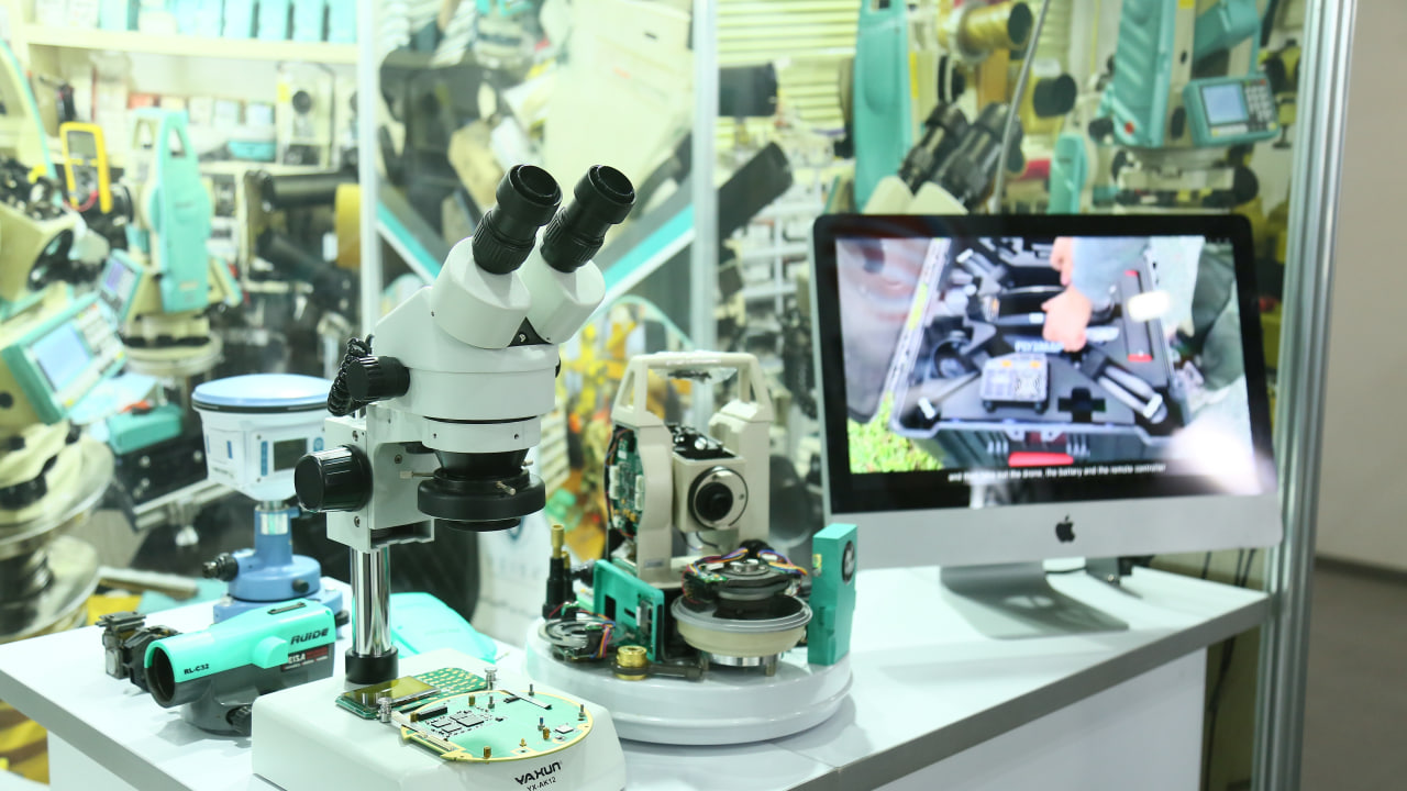


1. Geodesy and Land Surveying Equipment
Instruments and systems for precise measurement, topographic mapping, and cadastral surveying.
2. Space and Remote Sensing
Satellite observation technologies, remote sensing data applications, and space-based monitoring systems.
3. Meteorology and Climatology
Weather forecasting tools, climate analysis systems, and atmospheric data technologies.
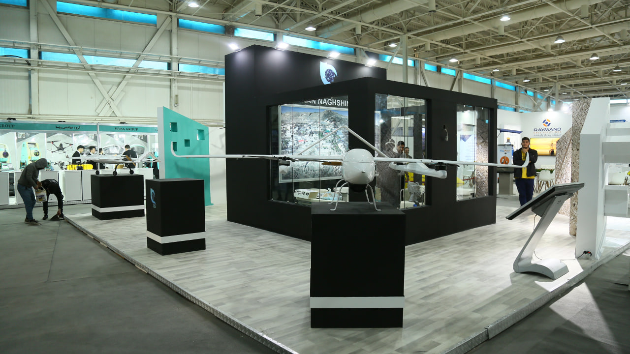
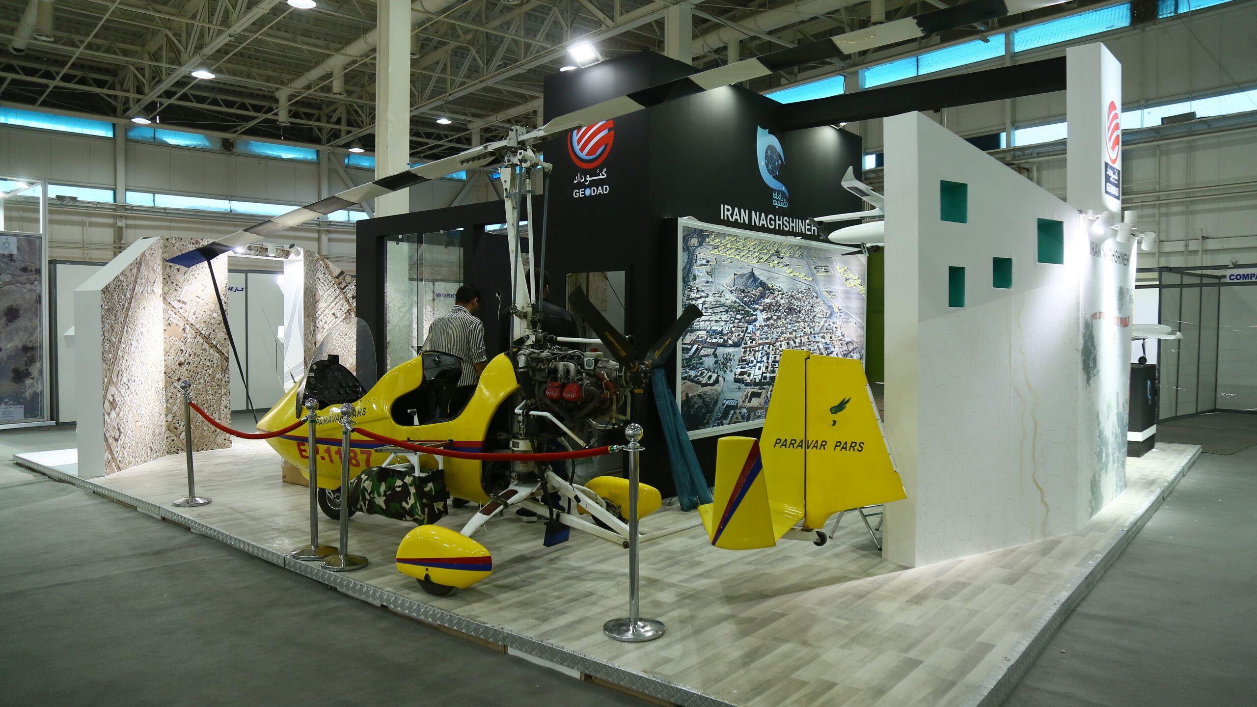
4. Aerial Surveying, Photogrammetry, UAVs, and Aircraft
Drones, airborne mapping platforms, remote sensing cameras, and photogrammetric tools.
5. Geographic Information Systems (GIS), Software & Hardware
GIS platforms, geospatial databases, data processing software, analytical tools, and integrated hardware.
6. Geology and Mineral Exploration
Geological mapping tools, seismic analysis systems, and exploration technologies for natural resources.
7. Cartography, Atlases & Specialized Publications
Scientific maps, thematic atlases, publishing houses, and cartographic design technologies.
8. Geography, Spatial Planning & Urban Development
Urban planning systems, regional development models, land use planning, and applied geographic studies.
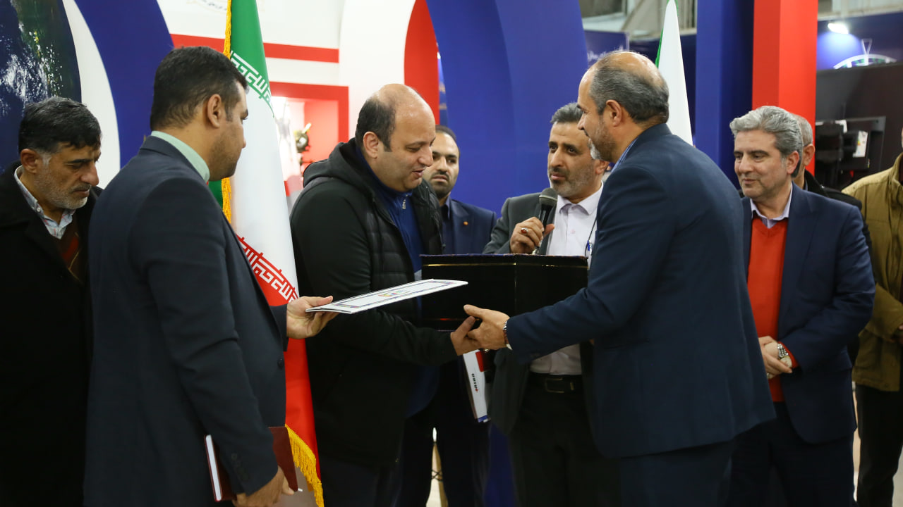
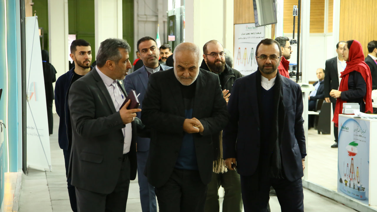
On the morning of Saturday, December 23, 2023, the grand opening of the third international specialized exhibition, “Iran Geo,” took place at the prestigious Tehran Permanent Fairground. This …
Social media: +100 SMS: +1000 Website: +100 Invitations: +500 News: +1000 Urban advertising: +250 Email:+ 10.000
Ambassador of the Republic of Tajikistan Ambassador of Belarus to Iran Ambassador of the Bolivian government Head of the Iran National Cartographic Center Head of the Iran Meteorological …
Tehran International Permanent Fairground, Iran
No. 3159, Valiasr St., Tajrish Sq., Tehran-Iran